 AI Briefing
prettymaps: Code that generates an OpenStreetMap map from just an address
marceloprates/prettymaps
About the project
Inputting only a given address or coordinates fetches OpenStreetMap data and generates a visualized map. It combines the osmnx, matplotlib, shapely, and vsketch packages to automate the process from data extraction to rendering. You can create maps with just a few lines of code without complex GIS configuration.
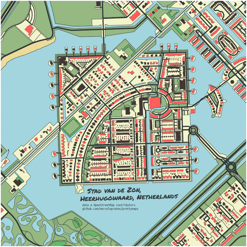
Map details can be directly controlled via the layers and style parameters. You can select and fetch only buildings or waterways with specific tags, and apply your desired style by specifying the fill color (fc), edge color (ec), and palette for each layer. Options to adjust boundary shapes, such as circle, radius, and dilate, are also provided.
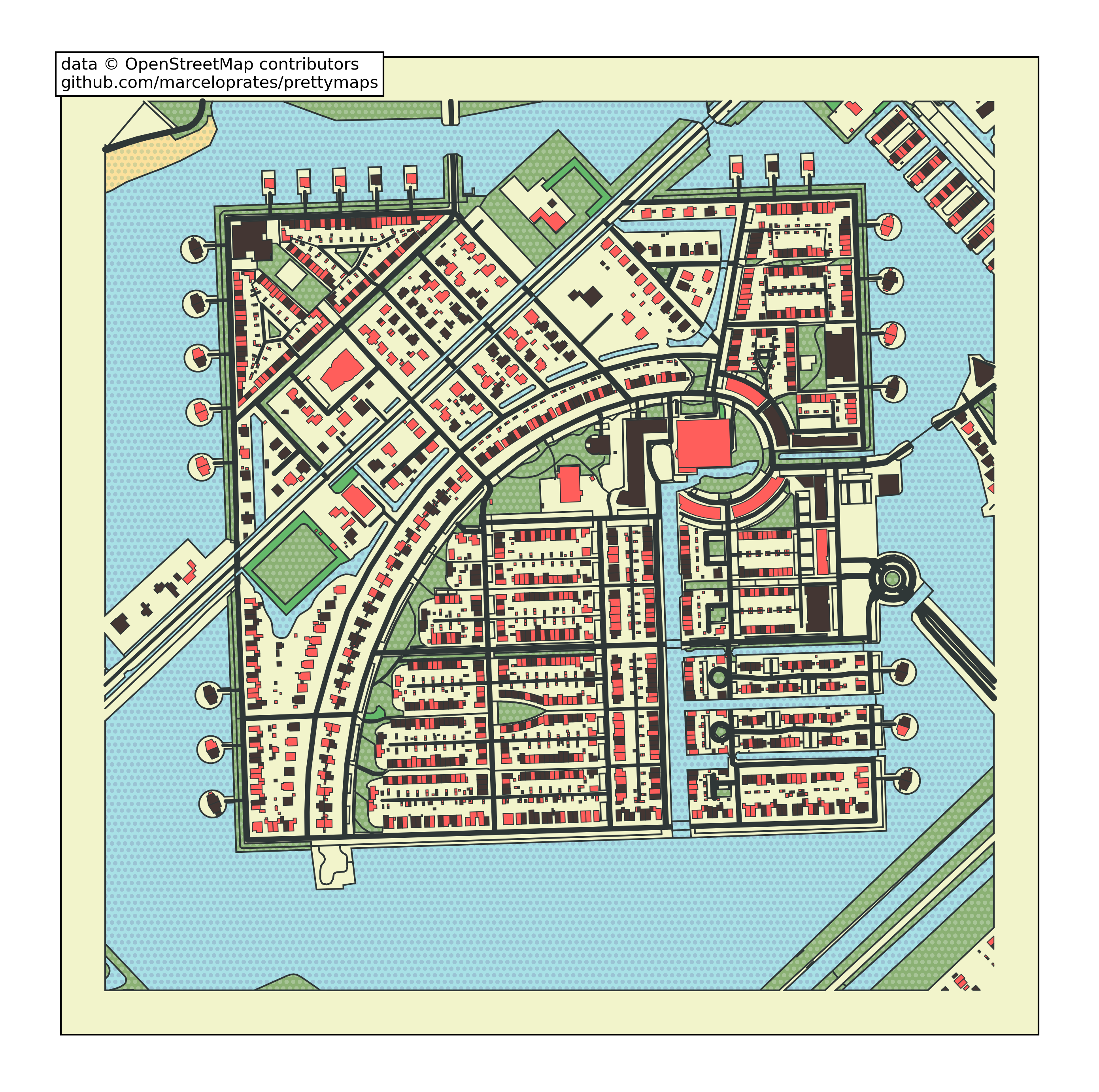
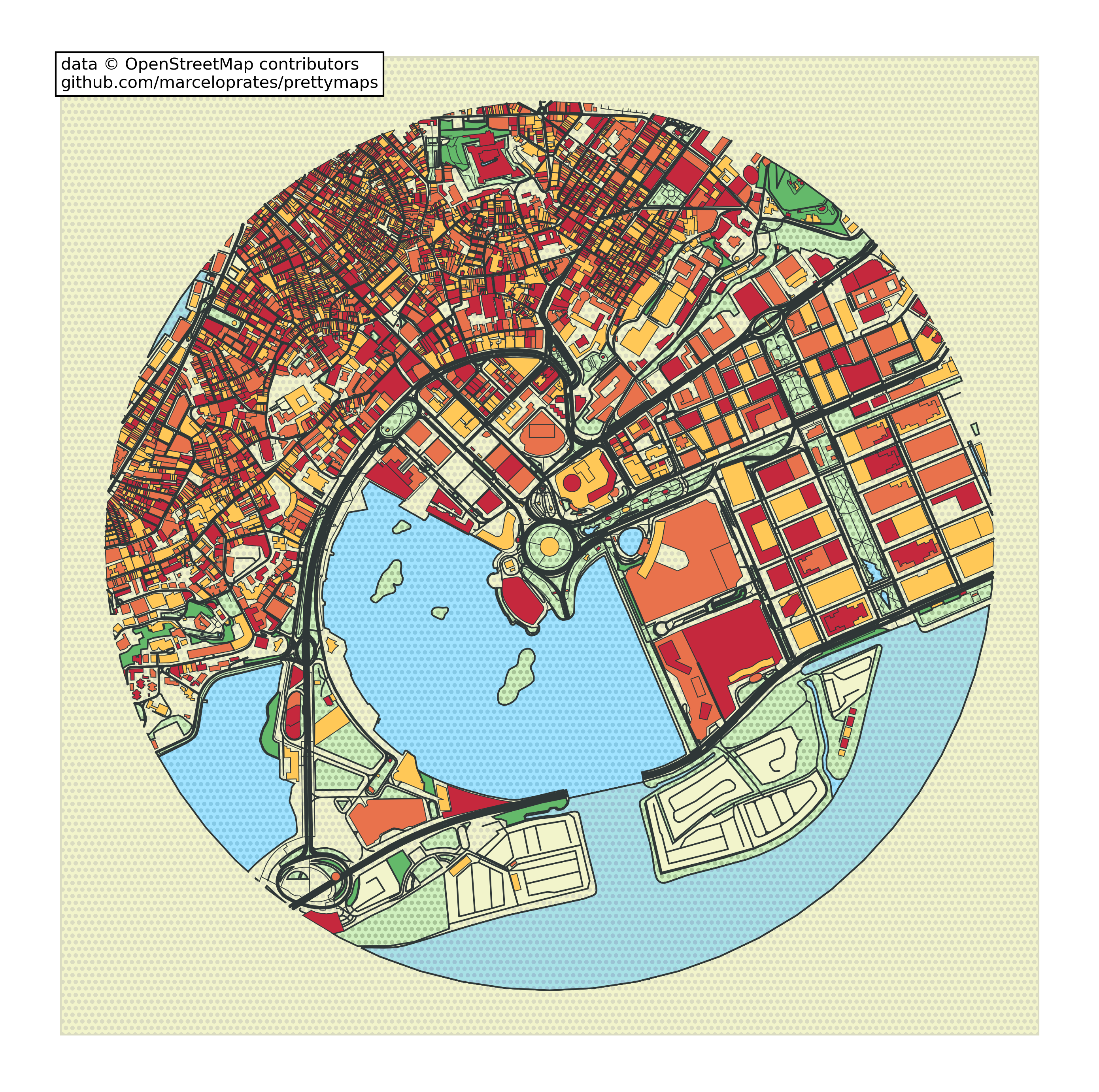
You can quickly get started by loading predefined JSON presets such as default, minimal, macao, and tijuca. It is suitable for using maps not merely as a means of information delivery, but as an aesthetic element in generative art or data visualization projects. It is distributed under the AGPL-3.0 license, and OpenStreetMap credit attribution is required for outputs.
marceloprates/prettymaps
Draw pretty maps from OpenStreetMap data! Built with osmnx +matplotlib + shapely
Python
This introduction was generated automatically by AI. Check the original for the author's claims and context. Copyright belongs to the original author.
Our guide explains how the AI works. Report errors, attribution issues, or removal requests via Contact.