 AI Briefing
GeoLibre: 1,000 Geospatial Tools in the Browser Without a Server
opengeos/GeoLibre
About the project
GIS work typically required heavy desktop software or server infrastructure. GeoLibre is a cloud-native GIS platform that runs in web browsers, on desktops, mobile devices, and Jupyter notebooks. Data remains local, preserving privacy.
The core feature is over 1,000 geospatial processing tools running in a WebAssembly runtime within the browser. Terrain, hydrology, LiDAR, remote sensing, and vector analysis are all processed locally without server calls. There is no need to install a Python sidecar or deploy a server.
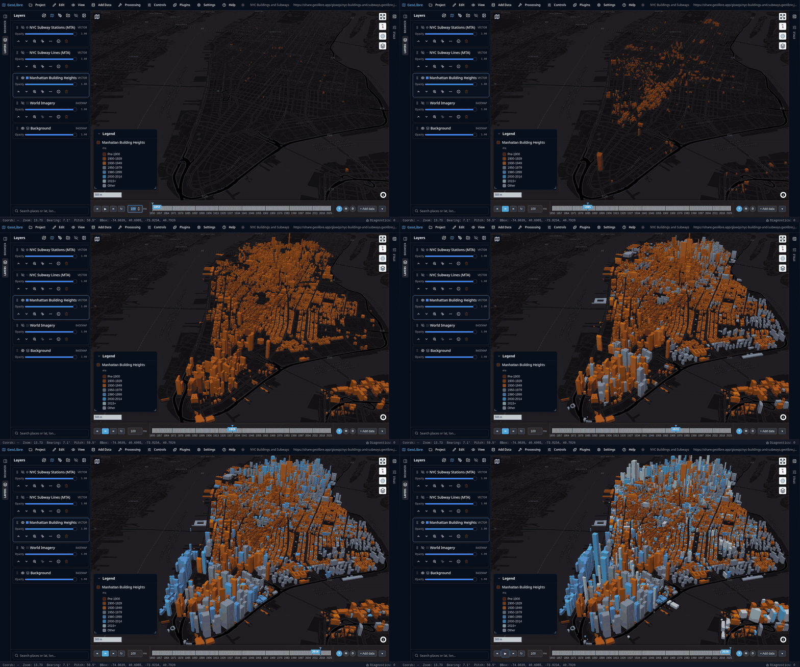
It supports basemaps for planets beyond Earth, including the Moon, Mars, Mercury, and Pluto. Per-project ellipsoid settings enable accurate distance and area measurements for each celestial body. Built on Tauri v2, React, and MapLibre GL JS, the same workspace extends to native apps and the web.
Released under the MIT license, this project is useful for developers and researchers working with geospatial data. It is particularly worth considering as an alternative in environments where data security is critical or building server infrastructure is burdensome.
opengeos/GeoLibre
A lightweight, cloud-native GIS platform for visualizing, exploring, and analyzing geospatial data. It runs in the web browser, on the desktop, on mobile, and inside Jupyter notebooks.
TypeScript
This introduction was generated automatically by AI. Check the original for the author's claims and context. Copyright belongs to the original author.
Our guide explains how the AI works. Report errors, attribution issues, or removal requests via Contact.